
Distance 7/8 miles | Time taken 3-4 hours | Directions This Google Map
When we got to LA a couple of months back a hike to the Hollywood sign was top of our priorities. We hadn’t done much research as we figured we could just pretty much just wing it – I mean, how hard can walking to a sign be?
We were staying Downtown and little bit of digging told us to head to Vermont/Sunset station first. A Metro pass was about five dollars for the day and it gave us unlimited travel, so it’s well worth grabbing if you want to avoid the traffic and see a decent amount of the city.
From Vermont/Sunset we jumped on a 50 cents DASH bus to Griffith Observatory. There’s about a dozen different routes up to the sign but this one appealed to us most, mainly as it offered the best value for money on our bleak budget.
At top the views were incredible.
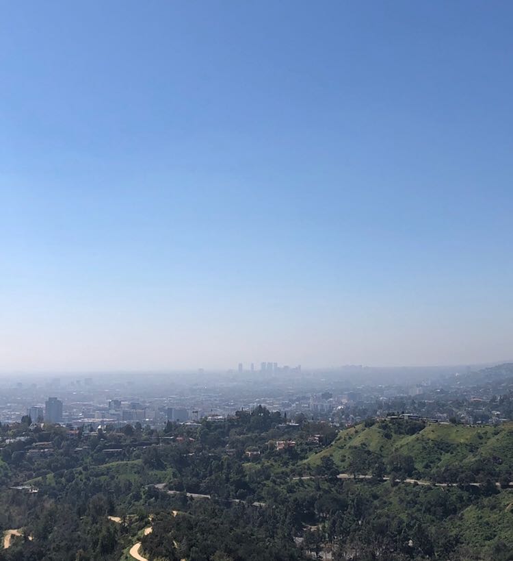
But also a bit daunting. Hiking to the sign suddenly felt a lot trickier than we thought it was going to be.
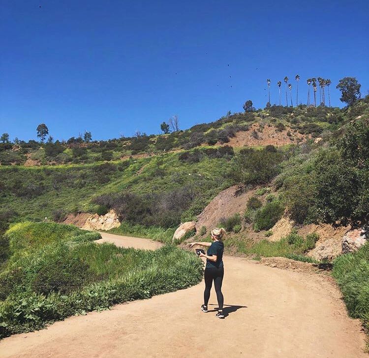
Undeterred we set off up along the Mount Hollywood trail, my girlfriend leading the way while I struggled with our Google Map directions.
At one stage I thought they were telling us to scale a vertical rockface, until I realised it was just my GPS playing up.
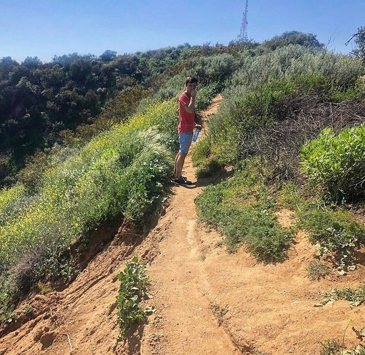
After about a mile we broke from the Mount Hollywood Trail, and started to go a bit higher into the hills.

I’m not going to pretend we knew where we were going as that would be a complete lie, we basically just relied on my sketchy map and followed some of the locals.
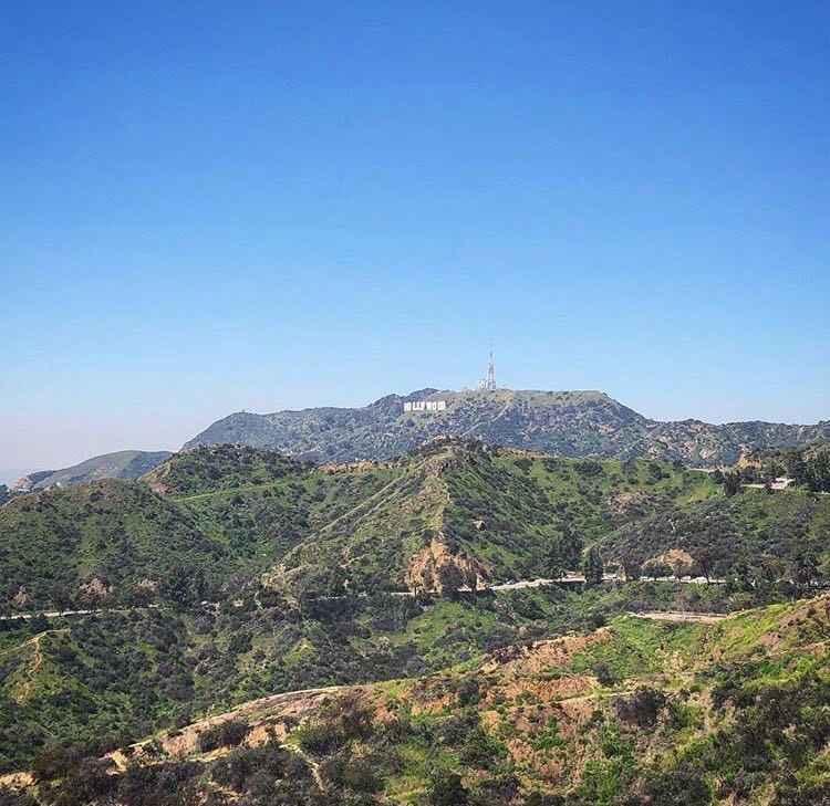
After dragging ourselves up a slippery dust path we reached the summit of a hill close to Dante’s View, which gave us stunning views of the national forest to the north of LA, as well as the city.
I really can’t recommend scrambling up here enough – the views were some of the best of the whole hike – I just can’t for the life of me what is what called, but I’ll come back and add it if my memory returns.
After ten minutes or so of soaking it all in we decided to crack on, with my Google Map seemingly suggesting we were on the right track. We followed it, followed it, followed it and followed it, not entirely sure if we’d taken a wrong turning along the way.
Finally, after what felt like an eternity we stumbled across another human being – who thankfully gave us some directions and told us the sign wasn’t too far away.
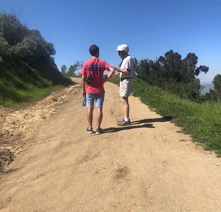
This final part of the hike would be best described as treacherous. We tried to follow the guy’s directions but probably went wrong somewhere, as we were climbing rocks, battling through bushes and easing ourselves across eroding paths.
After another half hour or so, lonely and lost we finally found a road – along with some other human beings. Thristy, weary and hungry we asked them how far close we were, “about ten minutes up the road” came the response.
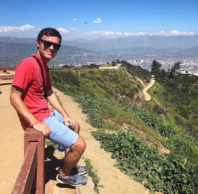
Twenty, not ten minutes later (we were knackered alright) we reached the summit, and I’m glad say that despite the struggle of the previous two and a bit hours it was completely worth it.
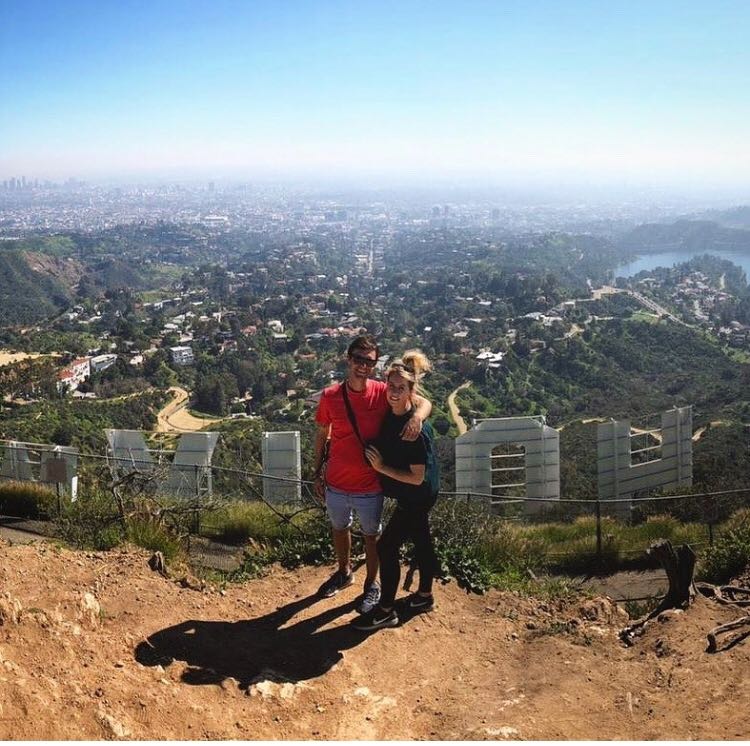
We stayed up there for about twenty minutes, recuperating, taking some snaps and soaking it all in. In comparison to other tourist spots we’d been in LA it was actually pretty quiet up there, but then again we were tackling it on a Monday afternoon – I’d imagine it’s a lot busier at sunset, sunrise and weekends.
The walk back to Griffin Observatory was much simpler than the hike to the sign, as we essentially just followed several winding dirt paths along the side of the hills. There’s signposts dotted around but we had to rely on our Google Maps a couple of times, so if you plan to tackle this hike take a charger – I think I must have drained my iPhone battery at least twice.
Good luck if you plan on giving it a go, it was one of the highlights of our trips to the States. Just make sure to take more than the 1l of water that we did.
